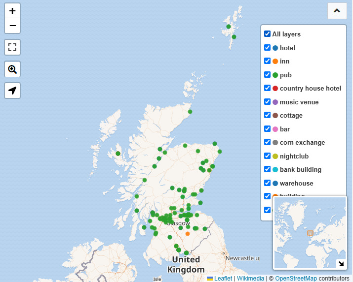
Seeing in the Wikidata update that CAMRA Pub IDs had now been loaded as an identifier, I queried for those with the ID in Scotland.
It is quite a detailed map, with colour-coding often designating the building's former use (though with the "pub" colour taking precedence here).
It does seem to be basically a map of Wetherspoons' pubs though.